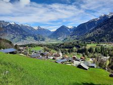
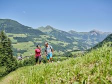
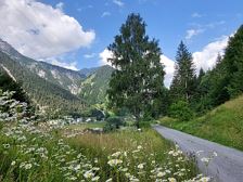
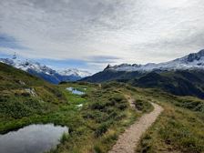
Kaltenberg Hütte | St. Christoph-KlostertalKaltenberg Hütte | St. Christoph-Klostertal Length15,7 km Elevation gain764 m LevelModerate Duration6:00 hVery scenic hike from St. Christoph via the Berggeistweg to the Kaltenberg Hütte and then back to Klostertal. St. Christoph am Arlberg St. Christoph am Arlberg
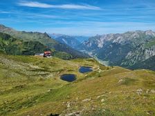
Wiesleweg | BrandWiesleweg | Brand Length4,5 km Elevation gain130 m LevelModerate Duration1:30 hOn this route you have a magnificent view of the Sarotla Valley and the Zimba, which is also called the "Vorarlberg Matterhorn" because of its striking shape. Village centre, Brand District Tschapina, Bürserberg
Bürserberg-Ausserberg circular trail | BürserbergBürserberg-Ausserberg circular trail | Bürserberg Length6,0 km Elevation gain197 m LevelEasy Duration2:00 hOn this leisurely hike you will discover the small community of Bürserberg with all its facets. Municipal office, Bürserberg Municipal office, Bürserberg
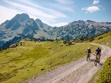
Alpe Laguz - Partnom Alpen - Sonntag | Raggal-MarulAlpe Laguz - Partnom Alpen - Sonntag | Raggal-Marul Length29,7 km Elevation gain1207 m LevelDifficult Duration5:00 hEmbark on one of the most beautiful mountain bike tours in the Grosses Walsertal, past the Laguz, Oberpartnom and Unterpartnom Alps down to Sonntag. Hiking parking lot Marul, Raggal Hiking parking lot Marul, Raggal
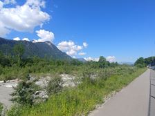
Walgau cycle path | WalgauWalgau cycle path | Walgau Length49,9 km Elevation gain242 m LevelEasy Duration3:30 hThe Walgau cycle tour along the River Ill is perfect for connoisseurs. Bludenz Feldkirch
Wiesweg via Rapiert - Reschina | RaggalWiesweg via Rapiert - Reschina | Raggal Length4,1 km Elevation gain106 m LevelModerate Duration1:30 hBeautiful, short winter hiking tour starting from the centre of Raggal. Church, Raggal Church, Raggal
Kneipp-Aktiv-Weg | RaggalKneipp-Aktiv-Weg | Raggal Length4,1 km Elevation gain198 m LevelModerate Duration2:00 hCircular hiking trail in Raggal with water treads, Kneipp troughs, barefoot path and rest loungers. Walserhalle, Raggal Walserhalle, Raggal
Schattenmähder | Dalaas/Wald am ArlbergSchattenmähder | Dalaas/Wald am Arlberg Length7,4 km Elevation gain211 m LevelEasy Duration2:30 hOn this circular hike in Dalaas/Wald am Arlberg you will enjoy impressive views of the Klostertal mountains. Sonnenkopf cable car valley station, Wald am Arlberg Sonnenkopf cable car valley station, Wald am Arlberg
Alte Statt Weg | BrandnertalAlte Statt Weg | Brandnertal Length9,9 km Elevation gain278 m LevelModerate Duration3:30 hThis winter hiking trail runs along the Alte Statt path and offers beautiful views of Zimba, Bludenz and the surrounding valleys. Mountain station Dorfbahn Bürserberg
Muttjöchle - Kristberg | DalaasMuttjöchle - Kristberg | Dalaas Length10,5 km Elevation gain310 m LevelModerate Duration4:45 hBeautiful hike past idyllic high moors and flowering mountain meadows up to Muttjöchle, on to Kristberg and back to Dalaas. Sonnenkopf cable car mountain station, Wald am Arlberg Kristbergsaal, Dalaas