Small Brandnertal Round | Brand-Bürserberg
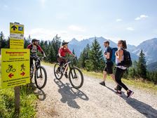
Small Brandnertal Round | Brand-Bürserberg
Length23,6 km Elevation gain939 m LevelEasy Duration3:30 h
Easy MTB tour with start in Brand, which is also very suitable for beginners.
272 Routes and tours
Overlay
Small Brandnertal Round | Brand-Bürserberg
Length23,6 km Elevation gain939 m LevelEasy Duration3:30 h
Easy MTB tour with start in Brand, which is also very suitable for beginners.
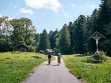
Length9,8 km Elevation gain439 m LevelModerate Duration1:45 h
Short panoramic mountain bike tour above Bludenz with sensational views of the region.
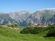
Burtschakopf, 2.244m | Klösterle am Arlberg
Length10,5 km Elevation gain688 m LevelModerate Duration4:45 h
Enjoy a fabulous panoramic view on the Burtschakopf at 2,244 m above sea level.
Sonnenkopf cable car mountain station, Klösterle am Arlberg
Sonnenkopf cable car mountain station, Klösterle am Arlberg
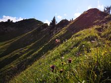
Gerenspitze, 1.871 m | St. Gerold
Length17,0 km Elevation gain1003 m LevelModerate Duration6:30 h
Beautiful hike via the Plansott Alpe to the Gerenspitze and back via the Gaßner Alpe with fabulous views of the Großes Walsertal biosphere reserve.

Length7,3 km Elevation gain422 m LevelEasy Duration2:45 h
Leisurely hike along the Alvierbach stream, past the Kesselfall, to the Schattenlagant hut, where you can stop for a leisurely meal.
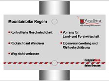
Small tour around Loischkopf | Bürserberg
Length13,8 km Elevation gain511 m LevelEasy Duration2:15 h
This easy mountainbike round trip - rideable for almost everyone - inspires with great views of the valley and the surrounding mountains.

Along the Alfenzweg to the barbecue area | Wald am Arlberg
Length3,7 km Elevation gain63 m LevelEasy Duration1:15 h
Pleasant walk to the barbecue area with pond and water wheel on the Alfenz River.
Sonnenkopf cable car valley station, Wald am Arlberg
Sonnenkopf cable car valley station, Wald am Arlberg

Wangspitze, 1.873 m | Sonntag-Buchboden
Length13,8 km Elevation gain990 m LevelDifficult Duration5:45 h
Beautiful round tour from Buchboden to the Wangspitze and further into the biosphere park core zone "Gadental".
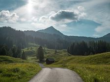
Mondspitze, 1.967 m | Bürserberg
Length8,4 km Elevation gain742 m LevelModerate Duration4:30 h
Relatively easy mountain tour to one of the most beautiful panoramic peaks with 5 valleys panoramic view.
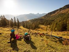
Nenzingerberg Tour | Bürserberg-Nenzing
Length36,3 km Elevation gain1292 m LevelDifficult Duration5:30 h
This scenic tour with views of the Rhine Valley inspires numerous mountain bikers!
A short moment
We prepare the content…