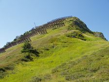
Falvkopf, 1.849 m | Blons
Length12,4 km Elevation gain949 m LevelDifficult Duration5:00 h
An incredible mountain panorama awaits you on the Falvkopf, above Blons and part of the Walserkamm.
272 Routes and tours
Overlay
Length12,4 km Elevation gain949 m LevelDifficult Duration5:00 h
An incredible mountain panorama awaits you on the Falvkopf, above Blons and part of the Walserkamm.
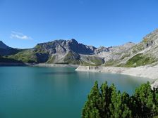
From the Lünersee to the Lindauer Hütte | Brand - Latschau/Tschagguns
Length22,9 km Elevation gain1411 m LevelModerate Duration8:45 h
Mountain tour with breathtaking mountain scenery past the picturesque Lünersee to the Lindauer Hütte in Montafon.

Length6,3 km Elevation gain221 m LevelModerate Duration2:15 h
Very beautiful winter hike above the high plateau Tschengla, which is rewarded with fabulous views.
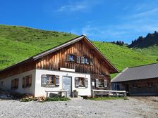
Löffelspitze, 1.962 m | Blons - St. Gerold
Length21,6 km Elevation gain1190 m LevelModerate Duration7:30 h
One of the most beautiful mountain tours leads past the Sentum Alpe up to the Löffelspitze at 1,962 m.
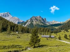
Schesaplana via Mannheimer Hütte (2 days) | Brand
Length24,9 km Elevation gain2060 m LevelDifficult Duration9:30 h
2-day tour to the Schesaplana with overnight stay at the highest hut in Vorarlberg, the Mannheimer Hütte at 2,679 m.

Length2,5 km Elevation gain127 m LevelEasy Duration1:00 h
Have you always wanted to know what forest floor, moor, meadows, stones and spring water feel like on the bare soles of your feet? Then you have the opportunity to do so on the barefoot trail - it is a real experience for the senses!

Circular trail to Sonnenberg Ruin | Nüziders
Length3,7 km Elevation gain159 m LevelEasy Duration1:15 h
A scenic hiking trail above Nüziders, past the Sonnenberg ruin.
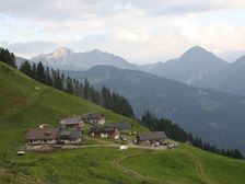
From Fontanella to Türtsch Alpe | Fontanella
Length13,5 km Elevation gain557 m LevelModerate Duration2:00 h
Enjoy the breathtaking view on this MTB tour up to the Türtsch Alpe.

Village circular path | Dalaas
Length3,1 km Elevation gain102 m LevelEasy Duration1:00 h
Leisurely village tour through numerous parts of the vacation resort Dalaas in Klostertal.

Bärenland & Bären-Weg at the Sonnenkopf | Klösterle am Arlberg
Length2,3 km Elevation gain- LevelEasy Duration0:30 h
The "Bärenland" on the Sonnenkopf adventure and family mountain is just the right thing for little adventure fans.
Sonnenkopf cable car valley station, Wald am Arlberg
Sonnenkopf cable car valley station, Wald am Arlberg
A short moment
We prepare the content…