
Walgau cycle path | Walgau
Distance49,9 km
Elevation gain242 m
Negative altitude236 m
LevelEasy
Duration3:30 h
Distance49,9 km
Elevation gain242 m
LevelEasy
Duration3:30 h
A short moment
Loading map...
Walgau cycle path | Walgau
Two cycle paths lead through the Walgau from the Alpine town of Bludenz. One route usually remains to the right of the Ill and leads through riparian forests and meadows in Ludesch, Thüringen, Bludesch, Schlins and Satteins to Frastanz. The other one always stays near the left bank of the Ill and leads through the Tschalenga Au to Nenzing and through the Galina forest with its many quarry lakes to Frastanz. The two routes between Nenzing and the ÖBB stop Schlins are briefly identical. At Frastanz the paths reunite and lead in a large arch through the Felsenau and finally along the main road through the Felsenaut gorge into the town of Feldkirch.
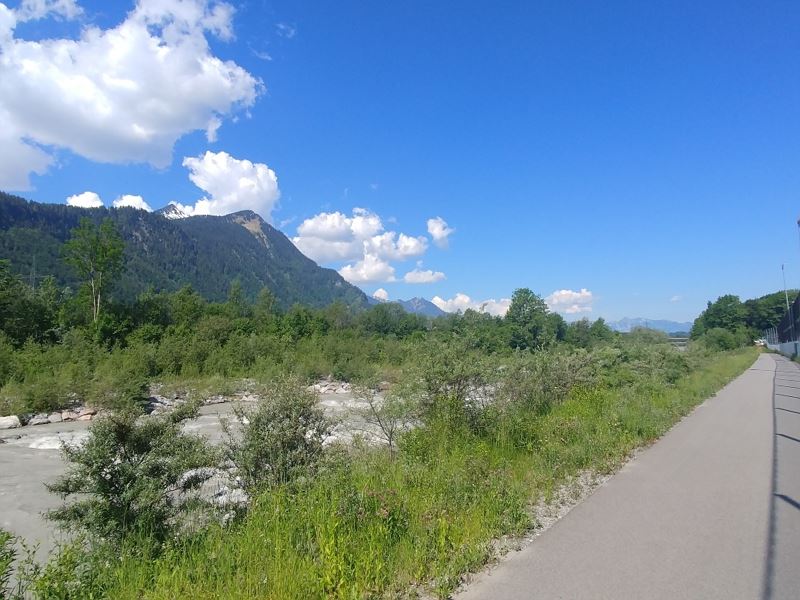 Radweg entlang der Ill auf Höhe Nüziders
 Mountainbike-Regeln


Equipment
Bicycle, helmet, rain and sun protection as well as snacks and enough water to drink. Mobile phone for emergencies.
Route description
Start: Bludenz
End: Feldkirch
Bludenz - Ludesch - Thüringen - Bludesch - Schlins - Satteins - Frastanz - FeldkirchVariante 2: Bludenz - Tschalenga Au - Nenzing - Galinawald - Frastanz - Feldkirch
Properties
- Out and back
- Refreshment stops available
- Family-friendly
Emergency services
140 Alpine Emergencies throughout Austria
144 Alpine Emergencies Vorarlberg
112 Euro emergency call (works with any mobile phone/network)