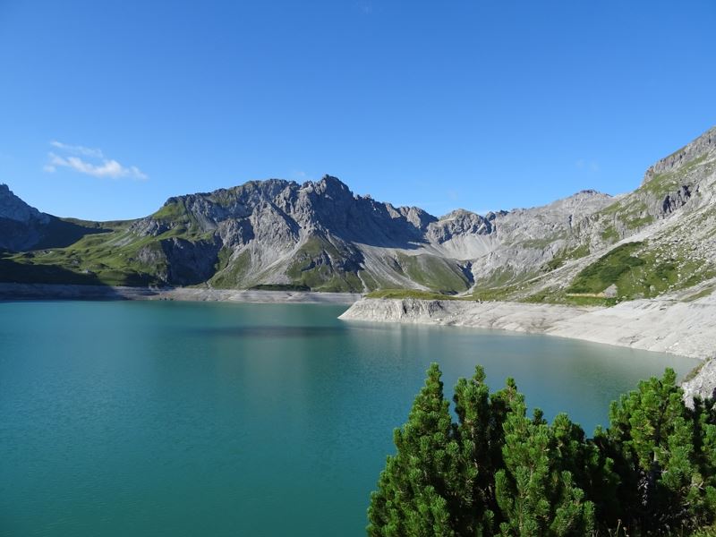
From the Lünersee to the Lindauer Hütte | Brand - Latschau/Tschagguns
Distance22,9 km
Elevation gain1411 m
Negative altitude1480 m
LevelModerate
Duration8:45 h
Distance22,9 km
Elevation gain1411 m
LevelModerate
Duration8:45 h
A short moment
Loading map...
From the Lünersee to the Lindauer Hütte | Brand - Latschau/Tschagguns
A footpath leads from Brand to the Lünersee cable car valley station. From there, a steep ascent (partly a secured climb) over the Böser Tritt to the Douglass hut. With the Landbus line 580 and the Lünersee cable car you already gain altitude comfortably and save the first 3.5 hours of the tour - start at the mountain station of the Lünersee cable car.
From the mountain station of the Lünersee cable car directly at the Douglass hut the hike starts along the Lünersee-Rundwanderweg (to the right) to the Lünersee Alp. From the Lünersee Alp slightly uphill and then left towards Verajöchle. Ascent to Verajöchle and then descent to the Schweizer Tor. At the Schweizer Tor a further ascent leads up to the Öfapass and from there the path leads downhill to the Lindauer Hut. Out of the valley on a good path over the Untere Spora Alp through the Gauertal to Latschau. From there bus (line 601) to Schruns - Montafonerbahn (S4) to Bludenz - bus (line 580) back to Brand or with the Golmerbahn from Latschau to Vandans and from Vandans with bus and train back to Brand.
 Malerischer Lünersee
 Lünersee Alpe
 Blick vom Verajoch hinunter Richtung Schweizer Tor
 Schweizer Tor
 Blick ins Rellstal
 Wanderwegenetz Vorarlberg
Equipment
Sturdy shoes, warm clothing, rain and sun protection, snack, filled water bottle and hiking poles are recommended. Mobile phone in case of emergency.
Route description
Start: Innertal, Brand
End: Latschau, Tschagguns or Vandans
Innertal - Lünersee cable car valley station - Böser Tritt or alternatively ascent by bus and Lünersee cable car - Lünersee cable car mountain station - Lünersee circular trail - Lünersee Alpe - Verajöchle - Schweizer Tor - Öfapass - Lindauer Hut - Untere Spora Alpe - Gauertal - LatschauProperties
- Linear route
- Scenic
- Refreshment stops available
- Cableway ascent/descent
Emergency services
140 Alpine Emergencies throughout Austria
144 Alpine Emergencies Vorarlberg
112 Euro emergency call (works with any mobile phone/network)


