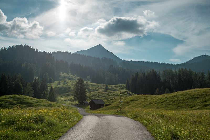
Mondspitze, 1.967 m | Bürserberg
Distance8,4 km
Elevation gain742 m
Negative altitude741 m
LevelModerate
Duration4:30 h
Distance8,4 km
Elevation gain742 m
LevelModerate
Duration4:30 h
A short moment
Loading map...
Mondspitze, 1.967 m | Bürserberg
From the car park at Tschengla in a few minutes to Alpe Rona. Continue, partly through woodland, partly across alpine meadows, always following the signs towards Alpe Furkla or Mondspitze. After Furkla Alpe, continue along the hiking trail and then up to the right to the goods road that leads to Klampera Sätteli. From the Sätteli somewhat rocky and a little more difficult up to the summit - very short secured sections. At the summit you can enjoy a sensational view of the surrounding mountains. The descent is south-west to the Schillersattel. Here, descend to the left on a hiking trail, crossing the goods road twice. Follow this path and descend across a meadow directly to Tschengla.
 Start der Sonnenuntergangswanderung beim Wanderparkplatz Tschengla
 Blick zurück Richtung Hochplateau Tschengla
 Blick hinauf Richtung Mondspitze
 Auf den letzten Metern unter dem Gipfel
 Gipfelkreuz auf der Mondspitze
 Auf dem Abstieg kurz vor dem Hochplateau Tschengla
 Wanderwegenetz Vorarlberg
Equipment
Hiking boots, warm clothing, rain and sun protection and hiking poles are recommended. Mobile phone for emergencies.
Route description
Start: Car park Tschengla, Bürserberg
End: Car park Tschengla, Bürserberg
Car park Tschengla - Alpe Rona - footpath - Furkla Alpe - footpath - goods path - Klampera Sätteli - Mondspitze - Schillersattel - footpath - car park TschenglaProperties
- Scenic
- Summit route
- Round trip
Emergency services
140 Alpine Emergencies throughout Austria
144 Alpine Emergencies Vorarlberg
112 Euro emergency call (works with any mobile phone/network)


