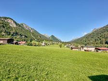
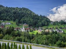
Way of St. James: Pettneu (Tyrol) to Klösterle am Arlberg | KlostertalWay of St. James: Pettneu (Tyrol) to Klösterle am Arlberg | Klostertal Length25,3 km Elevation gain880 m LevelDifficult Duration7:28 hThis section of the Way of St. James starts in Pettneu am Arlberg and leads over the Arlberg Pass to Vorarlberg. Pettneu am Arlberg Klösterle am Arlberg
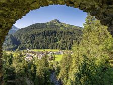
Way of St. James: Klösterle am Arlberg to Bludenz | KlostertalWay of St. James: Klösterle am Arlberg to Bludenz | Klostertal Length24,8 km Elevation gain322 m LevelDifficult Duration7:00 hThis section of the Way of St. James starts in Klösterle am Arlberg and leads through the Klostertal valley to Bludenz. Klösterle am Arlberg Bludenz
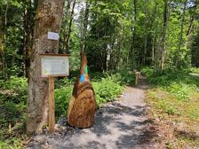
Gnome Experience Trail | Wald am ArlbergGnome Experience Trail | Wald am Arlberg Length1,4 km Elevation gain39 m LevelEasy Duration1:00 hExperience exciting stories with our water forest gnome Alfonz along the Alfenz in Wald am Arlberg! Bus stop "Außerwald", Wald am Arlberg Bus stop "Stelzistobel", Wald am Arlberg
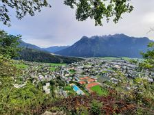
Bludenz Panorama Trail Run | BludenzBludenz Panorama Trail Run | Bludenz Length9,3 km Elevation gain359 m LevelModerate Duration1:50 hVaried trail running round on forest and meadow paths via the panorama path to Montikel and further through the Rungeliner forest to Gasünd and back again. Stadium, Bludenz Stadium, Bludenz
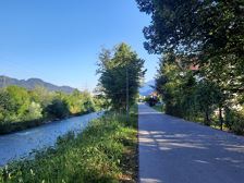
City Tour | BludenzCity Tour | Bludenz Length6,0 km Elevation gain10 m LevelEasy Duration1:00 hMedium-length running route through the centre of Bludenz towards the train station and with quieter sections along the banks of the Ill. Stadium, Bludenz Stadium, Bludenz
Culture Trail "Traces of History" | BürserbergCulture Trail "Traces of History" | Bürserberg Length5,1 km Elevation gain128 m LevelModerate Duration2:00 hInteresting cultural trail to historical places and buildings in Bürserberg. Bus stop "Bürserberg Museum", Bürserberg Bus stop "Bürserberg Museum", Bürserberg
Rona circular route | BürserbergRona circular route | Bürserberg Length2,8 km Elevation gain210 m LevelEasy Duration1:15 hBeautiful circular trail above Alpe Rona on the Tschengla high plateau. Alpe Rona, Bürserberg Alpe Rona, Bürserberg
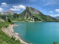
Klösterle - Spullersee | Klösterle am ArlbergKlösterle - Spullersee | Klösterle am Arlberg Length13,9 km Elevation gain818 m LevelModerate Duration5:30 hBeautiful hike from Klösterle am Arlberg along the Wäldletobel up to the Spuller lake. Tourist office, Klösterle am Arlberg Tourist office, Klösterle am Arlberg
Spuller Schafberg, 2.679 m | DalaasSpuller Schafberg, 2.679 m | Dalaas Length9,2 km Elevation gain951 m LevelDifficult Duration5:00 hSummit hike with wonderful far-reaching views of the Spullersee and the Lechquellen mountains. Bus stop Spullersee, Dalaas Bus stop Spullersee, Dalaas
Wald am Arlberg - Spullersee - Klösterle | Wald am ArlbergWald am Arlberg - Spullersee - Klösterle | Wald am Arlberg Length12,3 km Elevation gain869 m LevelModerate Duration6:00 hBeautiful hike from Wald am Arlberg along the Spreubachtobel up to the Spullersee and along the Wäldletobel back down into the valley. Bus stop "Wald Gasthaus Spullersee", Wald am Arlberg Bus stop "Schulhaus Klösterle", Klösterle am Arlberg