Klösterle - Spullersee | Klösterle am Arlberg
Distance13,9 km
Elevation gain818 m
Negative altitude818 m
LevelModerate
Duration5:30 h
Distance13,9 km
Elevation gain818 m
LevelModerate
Duration5:30 h
A short moment
Loading map...
Klösterle - Spullersee | Klösterle am Arlberg
The starting point of this tour is at the tourist office in Klösterle am Arlberg. First walk a short distance along the road into the valley until the hiking trail branches off to the left. The first part of the hike is on the Wäldletobel path up to the old railway line. From there, the trail continues uphill to the left of the Wäldletobel in the forest until you reach the goods road. Follow the road for a long bend until it becomes a hiking trail again and leads past the Alpe Spullers-Grabs up to the Spuller lake. Walk around the Spuller lage and take a leisurely break along the way. Afterwards, return to the valley via the ascent trail.
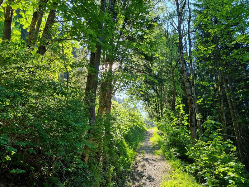
 Durch den Wald entlang des Wäldletobel-Weges
 Dem Weg über die Furt folgen
 Über den Wanderweg geht es weiter bergwärts
 Durchs Täli geht es hinauf Richtung Alpe Spullers-Grabs
 Super Ausblicke auf die umliegende Bergwelt
 Shortly below the dam wall of Spullersee
 Angekommen am frühlingshaften Spullersee
 Blick auf den Spuller Schafberg
 Wanderwegenetz Vorarlberg
Equipment
Sturdy shoes, warm clothing, rain and sun protection, filled water bottle and a small snack as well as hiking poles are recommended. Cell phone in case of emergency.
Route description
Start: Tourist office, Klösterle am Arlberg
End: Tourist office, Klösterle am Arlberg
Klösterle am Arlberg - Wäldletobel trail (first part) - Wäldletobel bridge - hiking trail towards Spullersee - junction with the goods trail - goods trail - hiking trail - Alpe Spullers-Grabs - Spuller lake - walk around - return via the same trailProperties
- Scenic
- Out and back
Emergency services
140 Alpine Emergencies throughout Austria
144 Alpine Emergencies Vorarlberg
112 Euro emergency call (works with any mobile phone/network)


