City Tour | Bludenz
Distance6,0 km
Elevation gain10 m
Negative altitude10 m
LevelEasy
Duration1:00 h
Distance6,0 km
Elevation gain10 m
LevelEasy
Duration1:00 h
A short moment
Loading map...
City Tour | Bludenz
From the starting point at the stadium, this route, which is entirely on asphalt, starts in a westerly direction following Untersteinstraße. On the pavement along the main road, you have to cross several crossroads again and again until you finally reach the railway subway and change to the other side and reach the banks of the Ill. From here, follow the traffic-calmed road in a north-westerly direction, always staying parallel to the Ill. After a loop, you come directly to the bank of the Ill and now follow the footpath and cycle path back. From here you walk exactly one mile (1,600 m) upstream until you leave the bank and cross over to the other side of the railway through a short zigzag run and a railway subway. Passing the Getzner Werke, you reach the main road from the outward run again and follow it northwards to the Sparkasse. Take a detour along Schillerstraße and return to the starting point.
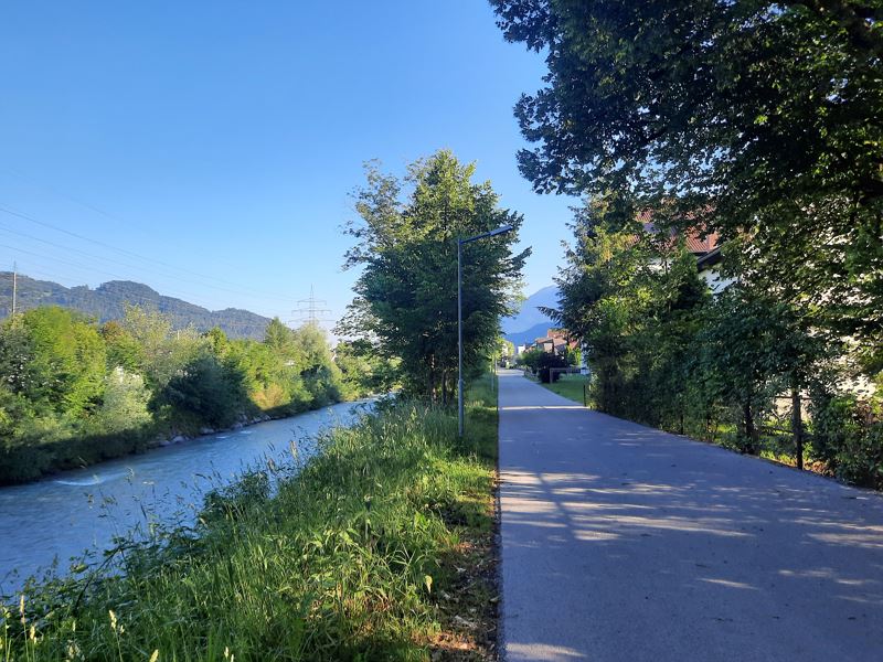
 Laufstrecke entlang der Ill (Symbolbild)
Equipment
Running shoes, sun and rain protection, filled water bottle, snack (as desired) and first aid kit. Mobile phone in case of emergency.
Route description
Start: Stadium, Bludenz
End: Stadium, Bludenz
Stadium - Untersteinstraße - Wichnerstraße - railway subway - Mokrystraße in northeastern direction - return point Äuleweg - return path Illufer (Unterer und Oberer Illrain) to power station Klarenbrunn - railway subway - Austraße - Wichnerstraße - Werdenbergerstraße/Schillerstraße - Jellerstraße - StadiumProperties
- Round trip
Emergency services
140 Alpine Emergencies throughout Austria
144 Alpine Emergencies Vorarlberg
112 Euro emergency call (works with any mobile phone/network)
