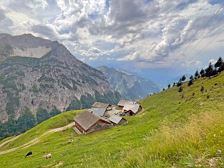
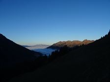
Around the Breithorn | Raggal-MarulAround the Breithorn | Raggal-Marul Length31,6 km Elevation gain1359 m LevelDifficult Duration4:30 hFrom alp to alp by mountain bike and the simultaneous circumnavigation of the center of Vorarlberg - makes this tour a highlight. Hiker's parking lot Marul, Raggal Hiker's parking lot Marul, Raggal
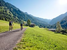
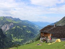
To the Alpe Ischkarnei | Sonntag-BuchbodenTo the Alpe Ischkarnei | Sonntag-Buchboden Length18,6 km Elevation gain670 m LevelModerate Duration3:00 hGreat MTB tour with two types of refreshment stop on the alps "Metzgertobel" and "Ischkarnei". Church, Sonntag-Buchboden Church, Sonntag-Buchboden
To the Oberüberlut Alpe | Sonntag-BuchbodenTo the Oberüberlut Alpe | Sonntag-Buchboden Length12,7 km Elevation gain674 m LevelModerate Duration2:30 hChallenging bike tour, which is rewarded with breathtaking views on the Alpe Oberüberlut. Church, Sonntag-Buchboden Church, Sonntag-Buchboden
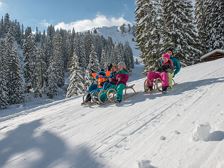
Uga Nature Toboggan Run | DamülsUga Nature Toboggan Run | Damüls Length2,5 km Elevation gain8 m LevelEasy Duration0:20 hThe popular toboggan run in Damüls can be reached comfortably and easily with the Uga-Express and offers fun and action for the whole family. Uga-Express mountain station, Damüls Uga-Express valley station , Damülsclosed
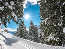
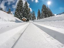
Unterdamüls cross-country trail | DamülsUnterdamüls cross-country trail | Damüls Length4,9 km Elevation gain49 m LevelEasy Duration1:30 hStyle: Classic Above Guesthouse zum Glöckle, Damüls Above Guesthouse zum Glöckle, Damülsopen
Stofel high-altitude cross-country ski trail | DamülsStofel high-altitude cross-country ski trail | Damüls Length2,7 km Elevation gain93 m LevelModerate Duration1:00 hStyle: Classic / Skating Guesthouse Zimba, Damüls Guesthouse Zimba, Damülsopen
Kellaspitze, 2.017 m | Raggal-MarulKellaspitze, 2.017 m | Raggal-Marul Length9,6 km Elevation gain1058 m LevelDifficult Duration5:30 hBeautiful mountain tour with partly somewhat exposed and rope-secured sections to the summit of the Kellaspitze with a fabulous panoramic view. Hikers' car park Marul, Raggal Hikers' car park Marul, Raggal
Lünersee circular trail | BrandLünersee circular trail | Brand Length7,8 km Elevation gain505 m LevelEasy Duration2:00 hThe Lünersee circular trail is the ideal hike for families and offers fantastic views of the Lünersee and the Rätikon mountains. Lünersee cable car valley station, Brand Lünersee cable car valley station, Brand
Sunna-Weg: Stage 1 | Nüziders-BludenzSunna-Weg: Stage 1 | Nüziders-Bludenz Length4,3 km Elevation gain223 m LevelEasy Duration1:30 hAlong the municipalities of Nüziders, Bludenz and Braz, a cultural-historical theme trail, the "Sunna Trail", has been inspiring visitors since summer 2019. The first stage leads from the Hängende Stein in Nüziders to the Daneu bridge in Bludenz. Parkingstation at the "Hängender Stein", Nüziders "Daneu" bridge, Bludenz
Sunna-Weg: Stage 3 | Bludenz-AußerbrazSunna-Weg: Stage 3 | Bludenz-Außerbraz Length4,9 km Elevation gain121 m LevelEasy Duration1:30 hAlong the municipalities of Nüziders, Bludenz and Braz, a cultural-historical theme trail, the "Sunna Trail", has been inspiring visitors since summer 2019. The third stage leads from Rungelin in Bludenz to the TRAUBE BRAZ Alpen.Spa.Golf.Hotel in Außerbraz. Rungelin, Bludenz TRAUBE BRAZ Alpen.Spa.Golf.Hotel, Außerbraz