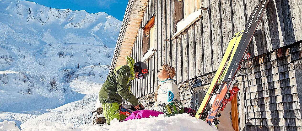
Selected Ski Tours
Discover Ski Tours in the Biosphere Reserve Großes Walsertal
Here you will find selected ski tours in the Biosphere Park Großes Walsertal. Our experienced ski tour guides accompany our guests on the most beautiful ski tours in the Walsertal and show you what to look out for when touring.
Selected Tour Suggestions
Guggernülli 1,736 m
Marul
Starting point: Maruler Church, 8,9 km
Altitude difference: 760 m
Duration: 2.5 - 3 h
Difficulty level: easy
To the left of the Marul church the tour starts up the quite steep slope. Before the last houses of the village are reached, keep right and cross the street. The first destination is the Stafelfederalpe at 1472 m altitude. Continue north, after approx. 300 m the ridge is reached in the direction of the "Kellerspitze".
Departure: like ascent

Glatthorn 2,133 m
Faschina
Starting point: Faschina Village Center
Altitude: 641 m, 3.2 km
Duration: approx. 2.5 hrs ascent
Difficulty: medium, difficult in the upper part
Refreshments: hotels and inns in Faschina, Franz Josef hut
Relatively short but beautiful and not to be underestimated (summit ridge) ski tour. From the centre of Faschina to the slopes to the west and across to the Stafel Alpe and the so-called Glatthornbahn (4-person chairlift). Shortly before the cable car turn left over the stream. At the beginning, overcome the trailing edge of the cliff in a left-right loop and climb over a ramp to the final loop and up into the saddle at the southwest ridge. On the ridge with the skis as high as possible, the last few meters over the narrow ridge on foot to the summit.
Zafernhorn 2,107 m
Faschina
Starting point: Tunnel below Faschina
Altitude: 783 m, 4.6 km
Duration: 2.5 - 3 h ascent
Difficulty: medium
Refreshments: hotels and inns in Faschina
The trapezoidal Zafernhorn, located east of Faschina, is visited by ski tourers throughout the winter. Starting point is the tunnel below the village of Faschina (1,375 m). The tour leads over the forest path to the Zafera Maisäßhütten. From the Maisäßhütten to the foot of the mountain and a bit right on a ramp, which is also used as a summer path. Over this on the shoulder in the southeast ridge (chapel) and on the windy grass ridge to the summit. Caution: often large cornices on the right! Departure: approximately like ascent.
Lusgrind 2,286 m
Sonntag-Stein
Starting point: cable car Sonntag-Stein
Altitude: 1,243 m, 10.6 km
Duration: 5 h
Difficulty: medium
Refreshments: Inns in Sonntag, Seilbahn Stuba, Alpen Chalet Partnom
From Sonntag by gondola to Stein. From here climb into the valley in the direction of Steinbild, Unterpartnom, Oberpartnom in southeastern direction to the Garmilsattel (1,810 m). Now flat on the goods road to the southeast, then descend through the ever steeper forest to Laguzalpe (1,584 m). Continue towards Obere Laguzalpe. Shortly before the alp go up to the Schwarzen Furka and from there first with skis, then on foot to the summit (1.140 Hm). Departure: like ascent.
Bratschenkopf 2,520 m
Buchboden
Altitude: 1,628 m, 8.4 km
Duration: approx. 5 h
Difficulty: difficult
Refreshments: Inns in Buchboden
From Buchboden the tour leads via Bad Rothenbrunnen up to Gadenalpe (1,317 m) and further east to Mutterwangjoch (2,025 m), from the coll a little to the east. From here you can enjoy climbing the Bratschenkopf from the east. Follow the 2,000 m elevation line to the east under the rocks of the Bratschenwand to the Gamsboden. The eastern slope up to the rarely climbed Bratschkenkopf.
Departure: From the coll or the summit, keeping left, follow the wall foot of the Feuerstein. Then the beautiful eastern slopes (beware!) To the lower Alpschellealpe and Metzgertobelalpe to Buchboden.

