Up to the Muttersberg | Bludenz-Nüziders
Distance5,7 km
Elevation gain735 m
Negative altitude1 m
LevelEasy
Duration2:30 h
Distance5,7 km
Elevation gain735 m
LevelEasy
Duration2:30 h
A short moment
Loading map...
Up to the Muttersberg | Bludenz-Nüziders
Several hiking trails of varying degrees of difficulty lead up to the Muttersberg. On this variant, you pass the Laz parcel and hike up to the Muttersberg via the old Muttersberg trail.
The start is at the Daneubrücke. From here, hike briefly across the road and then across a large meadow in the direction of Laz. From here, the main road is crossed twice and the trail also runs along the road for a while until it branches off onto the forest path. Via the beautifully laid out forest path, the tour now leads up to Laz to the chapel. In Laz, hike briefly along a meadow path before rejoining the road. Past the former Schönblick restaurant (closed) and on a level forest path in a few minutes to the junction with the Muttersberg Bildweg. Here you will find a small chapel a little further up. Shortly before the chapel, continue left through the forest and across meadows to the former Muttersberg restaurant (closed). From there, continue left towards the mountain station and up to the new Alpengasthof Muttersberg, which invites you to a cozy stop.
Alternatively, you can also ascend via the Panoramaweg, a leisurely ascending path (gravel road).
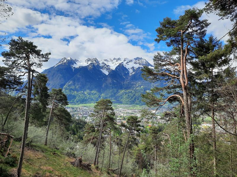
 Ausblick auf Bludenz, Bürs und den Rätikon
 Frühlingserwachen am Muttersberg
 Aussichtspunkt kurz vor dem Ziel
 Alpengasthof Muttersberg
 Talfahrt mit der Muttersbergbahn
 Wanderwegenetz Vorarlberg
Equipment
Ankle-high mountain boots with tread sole, sun and rain protection, snack, filled water bottle and first aid kit. Cell phone for emergencies.
Route description
Start: Muttersberg Cable Car valley station, Bludenz
End: Alpengasthof Muttersberg, Bludenz
Muttersberg cable car valley station - Daneu bridge - meadow and forest path - Laz - road - Bildweg - meadow and forest path - former Muttersberg restaurant (closed) - Alpengasthof Muttersberg - Muttersberg cable car mountain station - descent with the Muttersberg cable car - Muttersberg cable car valley stationProperties
- Scenic
- Refreshment stops available
- Family-friendly
- Cableway ascent/descent
- Linear route
Emergency services
140 Alpine Emergencies throughout Austria
144 Alpine Emergencies Vorarlberg
112 Euro emergency call (works with any mobile phone/network)


