To the Untere Brüggele Alpe | Brand
Distance7,2 km
Elevation gain412 m
Negative altitude412 m
LevelEasy
Duration2:30 h
Distance7,2 km
Elevation gain412 m
LevelEasy
Duration2:30 h
A short moment
Loading map...
To the Untere Brüggele Alpe | Brand
The way to the Untere Brüggele Alpe runs mostly in the shade of trees along the Palüdbach, worthwhile especially in dry and warm weather. The Glingabrunnen, a series of springs, is halfway along the way. The trail starts in Innertal and leads along a hiking trail into the picturesque Zalim valley to the Untere Brüggele Alpe, which invites you to stop for a break. Return via the same path or along the forest road.
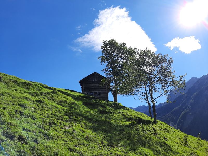
 Alter Heustadel entlang des Weges
 Palüdbach
 Glingabrunnen, eine Reihe von Quellen, die ihren unterirdischen Zufluss aus dem Brandner Gletscher beziehen
 Über Alpwiesen ins Zalimtal
 Malerisches Zalimtal
 Kurz vor der Unteren Brüggele Alpe
 Untere Brüggele Alpe
 Wanderwegenetz Vorarlberg
Equipment
Hiking boots, warm clothing, rain and sun protection as well as hiking poles are recommended. Mobile phone for emergencies.
Route description
Start: Innertal, Brand
End: Innertal, Brand
Innertal - footpath along the Palüdbach - Glingabrunnen - Zalimtal - Untere Brüggele Alpe - same way back or alternatively via forest roadProperties
- Scenic
- Out and back
- Refreshment stops available
- Family-friendly
Emergency services
140 Alpine Emergencies throughout Austria
144 Alpine Emergencies Vorarlberg
112 Euro emergency call (works with any mobile phone/network)


