To the Gassner Alpe | St. Gerold
Distance13,2 km
Elevation gain690 m
Negative altitude690 m
LevelModerate
Duration2:30 h
Distance13,2 km
Elevation gain690 m
LevelModerate
Duration2:30 h
A short moment
Loading map...
To the Gassner Alpe | St. Gerold
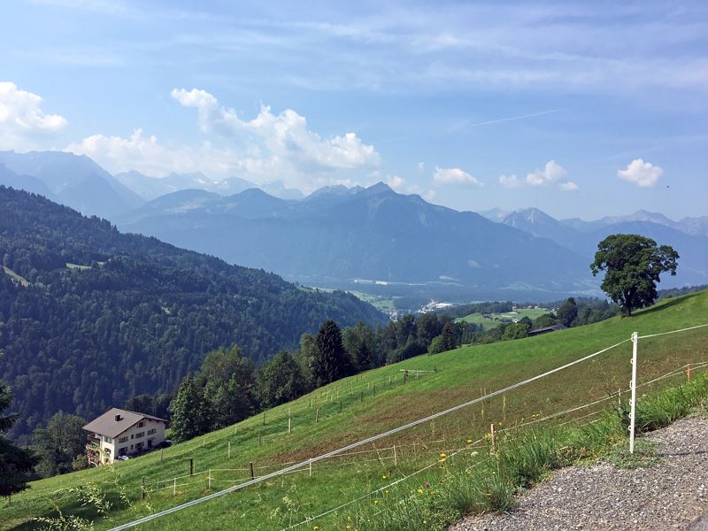
The MTB tour starts at the community centre in St. Gerold. The route leads a short distance along the main road out of the valley. After the ravine, the route branches off to the right and continues uphill over the Gaßnerberg until you reach the Gaßner Alpe. Return via the same route.
 Über den Gaßnerberg hinauf zur Gaßner Alpe
 Am Gaßnerberg kurz vor der Gaßner Alpe
 Gaßner Alpe
 Gaßner Alpe
 Mountainbike-Regeln
Equipment
Mountain bike, helmet, rain or sun protection as well as small food and sufficient water.
Route description
Start: Community centre, St. Gerold
End: Community centre, St. Gerold
Community centre, St. Gerold - main road out of the valley - turn right immediately after the ravine - Gaßnerberg - Gaßner Alpe - return via the same route Emergency services
140 Alpine Emergencies throughout Austria
144 Alpine Emergencies Vorarlberg
112 Euro emergency call (works with any mobile phone/network)


