Schattenlagantweg | Brand
Distance9,3 km
Elevation gain432 m
Negative altitude432 m
LevelModerate
Duration3:30 h
Distance9,3 km
Elevation gain432 m
LevelModerate
Duration3:30 h
A short moment
Loading map...
Schattenlagantweg | Brand
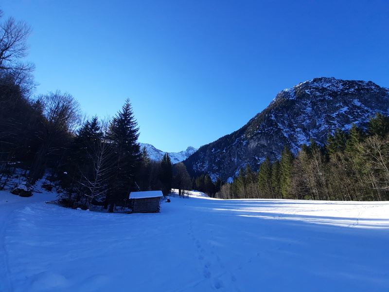
From the end of the village of Brand (Palüdbahn car park), this circular tour leads left of the Alvier stream into the valley into the so-called "Schattenlagant" - a beautiful valley that is untouched in winter. The unprepared hiking trail continues to wind slightly uphill until you reach the Schattenlagant road a little above the "Untere Schattenlagantalpe". From here it is a short stretch on the road, which is prepared in winter, to the Schattenlagant hut. Return the same way or, if conditions are avalanche-safe, along the Schattenlagant road.
Please note: Due to high avalanche danger, this trail may be closed. Information about this can be found in the winter report or at Brandnertal Tourismus.
 Start des Schattenlagantweges in Brand in Innertal
 Spektakuläre Eiswände entlang des Weges
 Winterliche Landschaft im Rätikon
 Präparierte Schattenlagantstraße
 Auf dem Rückweg auf der Schattenlagantstraße, welche zugleich Rodelbahn ist.
Equipment
Sturdy shoes, warm clothes and hiking poles are recommended. Mobile phone for emergencies.
Route description
Start: Innertal, Brand
End: Innertal, Brand
Innertal - bridge over the Alvier stream - footpath towards Sonnenlagant - Schattenlagantstraße - Schattenlaganthütte - same way back or via Schattenlagantstraße - Innertal.Attention: Always check the current avalanche situation on site before starting this tour.
Properties
- Insider tip
- Round trip
- Refreshment stops available
Emergency services
140 Alpine Emergencies throughout Austria
144 Alpine Emergencies Vorarlberg
112 Euro emergency call (works with any mobile phone/network)


