Römerkeller | Dalaas
Distance7,9 km
Elevation gain207 m
Negative altitude207 m
LevelEasy
Duration2:30 h
Distance7,9 km
Elevation gain207 m
LevelEasy
Duration2:30 h
A short moment
Loading map...
Römerkeller | Dalaas
You start the hike at the Kristbergsaal car park. The path leads you up towards the parish church of St. Oswald. Along Bahnhofstraße up to the parcels of Gaues, Untermarias and Obermarias. In Obermarias the path branches off into a footpath and leads past the field cross over the Sand- and Hölltobel through a wooded area to the Mason parcel and on to the Hintergant parcel. From there, cross the Schmittenbach and continue to the Römerkeller. The way back is via the same path. Or you can take the path to Untermason on the way back from the crossroads in front of the Martinskapelle. You will then come to the parish church of St. Oswald and take the same path back to the starting point.
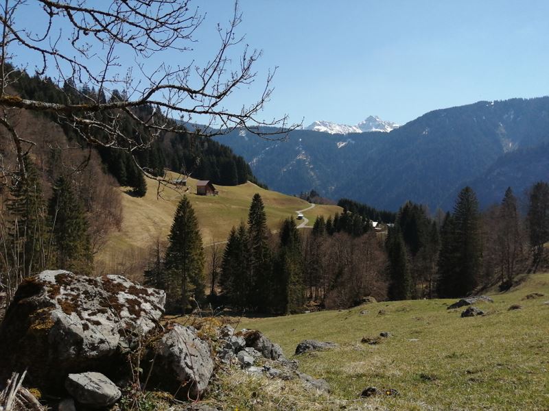
 Ausblick beim Römerkeller in Dalaas
 Rauschender Bergbach
 Frühlingserwachen in Dalaas
 Wanderwegenetz Vorarlberg
Equipment
Sturdy shoes, warm clothing, rain and sun protection and walking sticks are recommended. Mobile phone in case of emergency.
Route description
Start: Parking place Kristbergsaal, Dalaas
End: Parking place Kristbergsaal, Dalaas
Kristbergsaal - elementary school/community office - Bahnhofstraße - Gaues - Untermarias - Obermarias - footpath - Obermason - Hintergant - via Schmittenbach - Römerkeller - same way backProperties
- Scenic
- Out and back
Emergency services
140 Alpine Emergencies throughout Austria
144 Alpine Emergencies Vorarlberg
112 Euro emergency call (works with any mobile phone/network)


