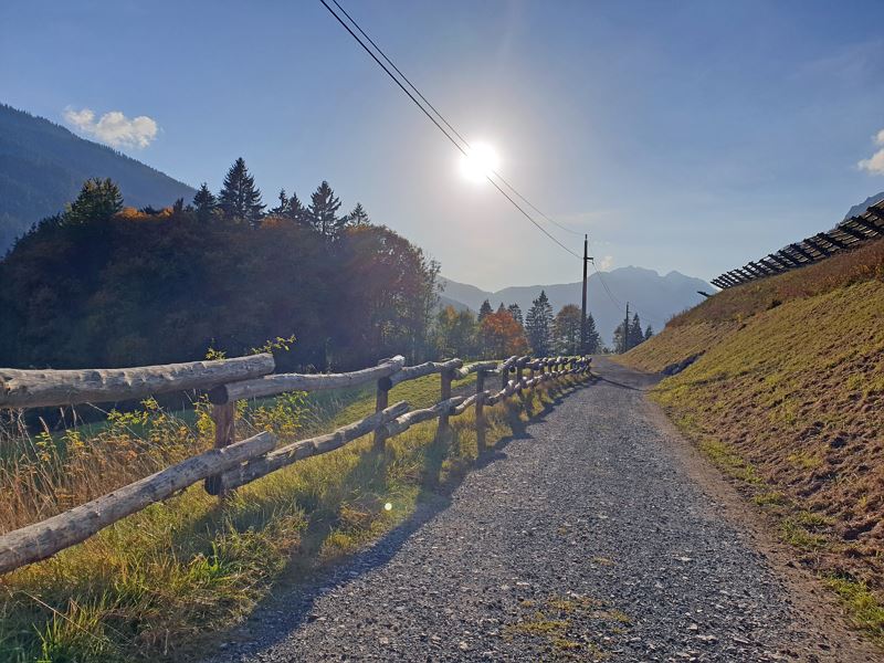
Panorama Trail | Klösterle am Arlberg
Distance5,8 km
Elevation gain179 m
Negative altitude159 m
LevelModerate
Duration2:00 h
Distance5,8 km
Elevation gain179 m
LevelModerate
Duration2:00 h
A short moment
Loading map...
Panorama Trail | Klösterle am Arlberg
Directly from the starting point at the tourist office in Klösterle am Arlberg, first follow the main road out of the valley for a short distance. Then the path branches off to the right across a meadow and leads up to the "Gisel" district via the Sonnen-Weg. The trail continues out of the valley along the old railroad line to the village of "Danöfen". At the Winkelhof, follow the road downhill to the main road. Follow this road out of the valley for a short distance, then cross the main road and continue along the path. Now the path leads you under the S16 to the hiking trail in the district "Wilden". Follow this path into the valley until you cross the S16 again. Now follow the Alfenz river further into the valley until you reach the Almwasserpark Klösterle. From there, cross the road in the direction of the village center and return to the starting point.
 Unterwegs von Klösterle nach Danöfen
 Für alle Klösterle-Fans: Aussicht mit Herz
 Herbstliche Landschaft in Klösterle am Arlberg
 Wanderwegenetz Vorarlberg
Equipment
Good footwear, warm clothing, rain and sun protection and hiking poles are recommended. Cell phone in case of emergency.
Route description
Start: Tourist office, Klösterle am Arlberg
End: Tourist office, Klösterle am Arlberg
Tourist office Klösterle am Arlberg - Sonnen-Weg - Gisel - old railroad line - Danöfen - Winkelhof - cross the federal road - under the highway (S16) - Wilden - hiking trail along the Alfenz - Almwasserpark - tourist office Klösterle am ArlbergProperties
- Scenic
- Round trip
Emergency services
140 Alpine Emergencies throughout Austria
144 Alpine Emergencies Vorarlberg
112 Euro emergency call (works with any mobile phone/network)


