Oberer Armatin-Höhenweg | Bludenz
Distance7,9 km
Elevation gain198 m
Negative altitude911 m
LevelModerate
Duration3:00 h
Distance7,9 km
Elevation gain198 m
LevelModerate
Duration3:00 h
A short moment
Loading map...
Oberer Armatin-Höhenweg | Bludenz
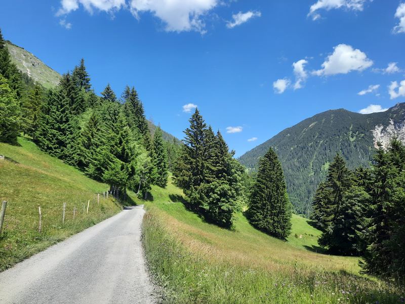
The tour starts with a leisurely ascent with the Muttersberg cable car. The hike starts at the mountain station and leads along a forest path down to the pond and from there along the forest road towards Tiefenseesattel/Alpe Els. After approx. 1.5 km, the trail branches off into a hiking trail towards the Armatin or Oberer Armatin-Höhenweg. The hiking trail now leads through shady forests and past the Armatin and Muttersberg ravines. Shortly after the Muttersberg ravine, the trail divides into the Oberer and the normal Armatin-Höhenweg. Keep to the left here and continue the hike on the Oberer Armatin-Höhenweg. From here, the revitalised Obere Armatin-Höhenweg now leads to the Grünegg viewpoint. There you can enjoy the view towards Walgau, Altmann, Säntis and Hoher Kasten in Switzerland. The hiking trail now continues over two other smaller ravines until it joins the Furklastraße (forest road). Follow the forest road downhill until the hiking trail branches off to the right. Then change to the hiking trail and follow the hiking trail down to the moated castle. Finally, walk a short distance along the road to the starting point at the Muttersberg cable car valley station.
 Forststraße Richtung Tiefenseesattel/Alpe Els
 Der Weg führt über mehrere Tobel, unter anderm über das Muttersbergtobel
 Blick zurück Richtung Muttersberg und Hoher Fraßen
 Kurze Wegstücke sind mit einem Halteseil abgesichert
 Wanderwegenetz Vorarlberg
Equipment
Ankle-high hiking boots with treaded soles, sun and rain protection, snack, filled water bottle and first aid kit. Hiking poles are recommended. Mobile phone in case of emergency.
Route description
Start: Muttersberg cable car mountain station, Bludenz
End: Muttersberg cable car valley station, Bludenz
Muttersberg cable car mountain station - pond - forest road towards Tiefenseesattel/Alpe Els - junction - Armatin-Höhenweg or Oberer Armatin-Höhenweg - Armatintobel - Muttersbergtobel - junction onto Oberer Armatin-Höhenweg - hiking trail - junction with Furklastraße - Furklastraße (forest road) - hiking trail - Muttersberg cable car valley stationProperties
- Linear route
- Scenic
- Geological highlights
- Cableway ascent/descent
Emergency services
140 Alpine Emergencies throughout Austria
144 Alpine Emergencies Vorarlberg
112 Euro emergency call (works with any mobile phone/network)


