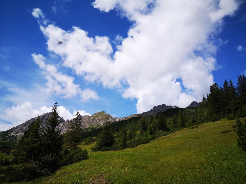
Nenzinger Himmel above Amatschonjoch | Brand
Distance22,4 km
Elevation gain1332 m
Negative altitude1333 m
LevelDifficult
Duration9:00 h
Distance22,4 km
Elevation gain1332 m
LevelDifficult
Duration9:00 h
A short moment
Loading map...
Nenzinger Himmel above Amatschonjoch | Brand
Wonderful hike from Brandnertal to the picturesquely situated Nenzinger Himmel in the Gamperdonatal. A moderately difficult hike, with a stop for refreshments at the Innere Paprfienzalpe and the option of returning by hiking bus, make this tour a pleasant full-day undertaking in the Rätikon / Vorarlberg.
You can save part of the ascent by taking the village railway in Brand, from where you first hike to the serviced Innere Parpfienzalpe (1,524 m). Later you reach the Niggenkopf (1,589 m) via a road and continue over a long ridge of the Gulma (1,859 m) towards the Amatschonjoch (2,028 m). Below the walls of the Blankuskopf, a narrow steep path leads down to the Setschalpe (1,722 m, closed). Caution is advised in wet conditions and in spring snowfields are still possible in places. From the alp, the hiking trail still leads steeply into the beautifully situated summer village of Nenzinger Himmel. Return via the same path or by hiking bus (registration required at least 1 day in advance) to Nenzing.
 Über Alpwiesen hinauf Richtung Amatschonjoch
 Auf dem Weg Richtung Amatschonjoch
 Blühende Alpwiesen
 Amatschonjoch
 Blick hinunter Richtung Nenzinger Himmel
 Wanderwegenetz Vorarlberg
Equipment
Ankle-high mountain boots with tread sole, sun and rain protection, snack, filled water bottle and first aid kit. Hiking poles are recommended. Cell phone for emergencies.
Route description
Start: Dorfbahn mountain station, Brand
End: Nenzinger Himmel or Dorfbahn mountain station, Brand
Ascent Dorfbahn - Dorfbahn mountain station - Innere Parpfienzalpe - Niggenkopf - Gulma - Amatschonjoch - Alpe Setsch - Nenzinger Himmel - same way back or alternatively with the hiking bus (registration required) to NenzingProperties
- Scenic
- Out and back
- Refreshment stops available
- Cableway ascent/descent
- Linear route
Emergency services
140 Alpine Emergencies throughout Austria
144 Alpine Emergencies Vorarlberg
112 Euro emergency call (works with any mobile phone/network)


