Muttersberg - Alpe Els | Bludenz
Distance11,6 km
Elevation gain357 m
Negative altitude357 m
LevelModerate
Duration3:30 h
Distance11,6 km
Elevation gain357 m
LevelModerate
Duration3:30 h
A short moment
Loading map...
Muttersberg - Alpe Els | Bludenz
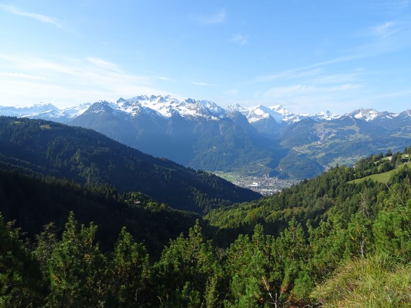
From the mountain station of the Muttersberg cable car, a road leads to the Tiefenseesattel. On a gentle incline - with a magnificent view of the surrounding mountains - the trail continues to the farmed Alpe Els. The idyllically situated alpine pasture below the Gamsfreiheit is a popular destination for hikers and mountain bikers. Delicious alpine products invite you to enjoy and linger. The way back follows the same route.
 Blick hinunter auf Bludenz und Bürs
 Auf dem Güterweg Richtung Alpe Els
 Kurz vor der Alpe Els
 Alpe Els bereits im Winterschlaf
 Auf dem Rückweg eröffnet sich ein toller Blick auf das Große Walsertal
 Wanderwegenetz Vorarlberg
Equipment
Ankle-high mountain boots with treaded soles, sun and rain protection, snack, filled water bottle and first aid kit. Mobile phone for emergencies.
Route description
Start: Muttersberg cable car mountain station, Bludenz
End: Muttersberg cable car mountain station, Bludenz
Muttersberg cable car mountain station - goods path to Tiefenseesattel - continue to Alpe Els - Alpe Els - optional: ascent to Elser Fürkele - same route backProperties
- Scenic
- Out and back
- Refreshment stops available
- Family-friendly
- Cableway ascent/descent
Emergency services
140 Alpine Emergencies throughout Austria
144 Alpine Emergencies Vorarlberg
112 Euro emergency call (works with any mobile phone/network)


