
Montafon cycle path
Distance62,4 km
Elevation gain532 m
Negative altitude532 m
LevelEasy
Duration4:30 h
Distance62,4 km
Elevation gain532 m
LevelEasy
Duration4:30 h
A short moment
Loading map...
Montafon cycle path
From Bludenz it goes first along the Ill to Brunnenfeld. From the junction at the Bludenz-Montafon motorway exit, take secondary roads through Lorüns, then briefly along the main road and then shadily along the Ill into the valley. You pass Vandans and the large compensating basins at Rodund power station and arrive at the beginning of Schruns and Tschagguns. The cycle path remains very close to the Ill. Shortly before Galgenul it touches the main road, then one drives on again in the valley floor. You pass St. Gallenkirch and Gortipohl and reach Gaschurn. The road to Partenen continues along the main road. The return journey is the same way. From Schruns you can take the Montafonerbahn back to Bludenz.
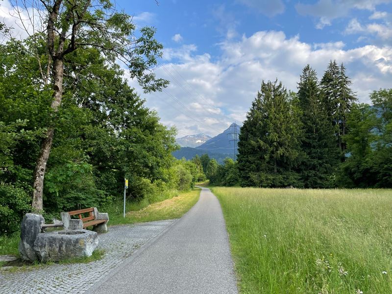 Radweg auf Höhe St. Anton im Montafon mit Rastplatz
 Wegweiser der Landesradrouten in Vorarlberg
- Schattiger Radweg durch Waldstücke in Vandans
- Radweg auf Höhe Rodund/Gantschier
- Mountainbike-Regeln


Equipment
Mountain bike, helmet, rain or sun protection, small snacks and enough water to drink. Mobile phone in case of emergency.
Route description
Start: Bludenz
End: Partenen or Bludenz
Bludenz - Brunnenfeld - Lorüns - Vandans - Gantschier - Schruns/Tschagguns - St. Gallenkrich - Gortipohl - Gaschurn - Partenen - return via the same route or alternatively by bus and the MontafonerbahnProperties
- Refreshment stops available
- Family-friendly
- Out and back
Emergency services
140 Alpine Emergencies throughout Austria
144 Alpine Emergencies Vorarlberg
112 Euro emergency call (works with any mobile phone/network)