High altitude hiking trail | Brand
Distance4,8 km
Elevation gain199 m
Negative altitude198 m
LevelModerate
Duration2:00 h
Distance4,8 km
Elevation gain199 m
LevelModerate
Duration2:00 h
A short moment
Loading map...
High altitude hiking trail | Brand
The entry point is in Brand Innertal. The first part of the route you hike on the Bügmiweg uphill or out of the valley, the second part of the route on the Thurner-Höhenweg. The route ends after a certain time and you have to hike the first short part back on the same path before the path branches off to the left towards the village/main road. Return to the starting point via the main road to Brand Innertal.
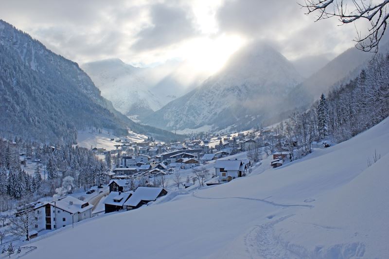
 Blick auf das tief verschneite Brand
Equipment
Sturdy shoes, warm clothing and walking sticks are recommended. Cell phone in case of emergency.
Route description
Start: Innertal, Brand
End: Innertal, Brand
Innertal - Bügmiweg - Thurner-Höhenweg - short way back along the same path - turn off towards the village centre/main road - main road into the valley - InnertalProperties
- Scenic
- Out and back
- Round trip
Emergency services
140 Alpine Emergencies throughout Austria
144 Alpine Emergencies Vorarlberg
112 Euro emergency call (works with any mobile phone/network)
