
Gamsfreiheit, 2.211 m | Bludenz
Distance17,8 km
Elevation gain970 m
Negative altitude970 m
LevelDifficult
Duration7:00 h
Distance17,8 km
Elevation gain970 m
LevelDifficult
Duration7:00 h
A short moment
Loading map...
Gamsfreiheit, 2.211 m | Bludenz
The summit tour starts at the mountain station of the Muttersberg cable car. The first stage follows the alpine path to the Tiefenseesattel - here you can enjoy a magnificent view of Raggal/Marul in the Großes Walsertal Biosphere Reserve, the Kellaspitze opposite and the Rote Wand. The trail continues to Alpe Els. From Alpe Els, the ascent starts towards the summit over alpine meadows and mountain pine slopes. Finally, the steep western flank leads to the summit cross of the Gamsfreiheit at 2,211m. At the summit you are rewarded with unique panoramic views of the Rätikon (with Zimba and Schesaplana), the Silvretta, the Bregenzerwald, the Klostertal, Montafon and Brandnertal. The descent follows the same path as the ascent.
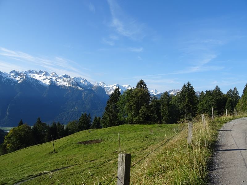 Auf dem Alpweg unterwegs Richtung Tiefenseesattel
 Blick zurück auf die Alpe Els
- Wanderweg hinauf zur Gamsfreiheit
- Gipfel der Gamsfreiheit, 2.211 m
- Blick vom Gipfel Richtung Bludenz/Bürs, im Hintergrund der Rätikon
- Wanderwegenetz Vorarlberg


Equipment
Ankle-high mountain boots with profiled sole, sun and rain protection, snacks, filled water bottle and first aid equipment. Mobile phone for emergencies.
Route description
Start: Muttersberg Cable Car mountain station, Bludenz
End: Muttersberg Cable Car mountain station, Bludenz
Muttersberg cable car valley station - ascent with the Muttersberg cable car - Muttersberg cable car mountain station - goods path to Tiefenseesattel - Tiefenseesattel - goods path to Alpe Els - Alpe Els - hiking trail - Gamsfreiheit - same route back.Properties
- Linear route
- Scenic
- Summit route
- Refreshment stops available
- Cableway ascent/descent
- Secured passages
Emergency services
140 Alpine Emergencies throughout Austria
144 Alpine Emergencies Vorarlberg
112 Euro emergency call (works with any mobile phone/network)