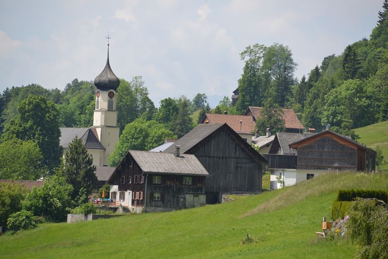
Gampelin Alpe - Schnifis | Thüringerberg
Distance11,3 km
Elevation gain384 m
Negative altitude470 m
LevelModerate
Duration3:30 h
Distance11,3 km
Elevation gain384 m
LevelModerate
Duration3:30 h
A short moment
Loading map...
Gampelin Alpe - Schnifis | Thüringerberg
The hike leads from the center of Thüringerberg over the Gampelin Alpe to the eastern Plattenhof to Schnifis. Here you turn left and follow the hiking trail towards the Montiola ponds. Cross the country road and continue to follow the path to the Montiola ponds. The ponds are well suited for a short rest before the trail branches off to the left and leads back to Thüringerberg to the starting point.
 Thüringerberg
 Wanderwegenetz Vorarlberg
Equipment
Ankle-high mountain boots with treaded soles, sun and rain protection, snack, filled water bottle and first aid kit. Mobile phone in case of emergency. Walking sticks are recommended.
Route description
Start: Village centre, Thüringerberg
End: Village centre, Thüringerberg
Thüringerberg village centre/church - Gampelin Alpe - Eastern Plattenhof - crossing the main road in Schnifis - Montiola Weiher - Thüringerberg village centre/churchProperties
- Scenic
- Round trip
Emergency services
140 Alpine Emergencies throughout Austria
144 Alpine Emergencies Vorarlberg
112 Euro emergency call (works with any mobile phone/network)


