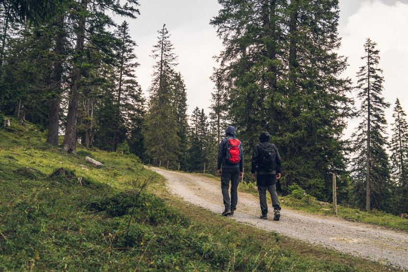
Furkla-Höhenweg l Bürserberg
Distance10,8 km
Elevation gain343 m
Negative altitude343 m
LevelEasy
Duration3:30 h
Distance10,8 km
Elevation gain343 m
LevelEasy
Duration3:30 h
A short moment
Loading map...
Furkla-Höhenweg l Bürserberg
This hike starts comfortably with the ascent with the Dorf- and Panorama cable car from Brand. From the mountain station of the Panorama cable car directly at the Burtschasattel, the path leads in the direction of Faregg. At Faregg along the goods road always follow the signs towards Furkla Alpe. During the alpine season (mid-July - end of August), the Furkla Alpe invites you to stop for a bite to eat. The way back leads along the same path or alternatively via Bürserberg. For variant two, follow the signs downhill in the direction of Bürserberg. At the first junction turn right and follow the Alte Statt Weg uphill towards Faregg/Burtschasattel to get back to the starting point. You can return to the valley with the Dorf- und Panorama cable car.
 Furkla-Höhenweg - auch bei Regenwetter eine schöne Wanderung!
 Furkla Alpe
 Auf dem Rückweg Richtung Burtschasattel
 Wanderwegenetz Vorarlberg
Equipment
Strong footwear, warm clothing, rain and sun protection and hiking poles are recommended. Cell phone for emergencies.
Route description
Start: Panorama cable car mountain station, Bürserberg
End: Panorama cable car mountain station, Bürserberg
Dorfbahn cable car valley station - ascent with Dorf- and Panorama cable car - Panorama cable car mountain station/Burtschasattel - Faregg - Furkla-Höhenweg - Furkla Alpe - downhill in the direction of Bürserberg - Alte Statt Weg - Panorama cable car mountain station/Burtschasattel - descent with Dorf- and Panorama cable carProperties
- Scenic
- Round trip
- Refreshment stops available
- Family-friendly
- Cableway ascent/descent
Emergency services
140 Alpine Emergencies throughout Austria
144 Alpine Emergencies Vorarlberg
112 Euro emergency call (works with any mobile phone/network)


