Furkla high altitude hiking trail | Bürserberg
Distance10,2 km
Elevation gain131 m
Negative altitude104 m
LevelModerate
Duration3:00 h
Distance10,2 km
Elevation gain131 m
LevelModerate
Duration3:00 h
A short moment
Loading map...
Furkla high altitude hiking trail | Bürserberg
From the mountain station of the Panorama cable car, the winter hiking trail leads gently uphill to the Parpfienzsattel. From there with a slight downward slope and slight upward slope via the high trail to the Furkla Alpe. Return via the same path.
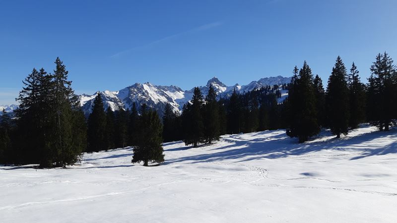
 Ausblick entlang des Furkla-Höhenwanderweges
 Ausblick Richtung Bludenz und Großes Walsertal
 Möglichkeit für eine Rast bei der Alpe Furkla (Alpe im Winter geschlossen)
 Auf dem Rückweg Richtung Panoramabahn Bergstation
Equipment
Sturdy shoes, warm clothing and walking sticks are recommended. Cell phone in case of emergency.
Route description
Start: Panoramic cable car mountain station, Bürserberg
End: Panoramic cable car mountain station, Bürserberg
Dorfbahn valley station, Brand - ascent with the Dorf- and Panoramabahn cable car - Panoramabahn mountain station, Bürserberg - Parpfienzsattel - Furkla high-altitude trail - Furkla Alpe - optional Garsellijoch - same route backProperties
- Scenic
- Out and back
- Refreshment stops available
- Groomed snow
Emergency services
140 Alpine Emergencies throughout Austria
144 Alpine Emergencies Vorarlberg
112 Euro emergency call (works with any mobile phone/network)


