Faschina - Hochschere Fürkele - Buchboden | Faschina & Buchboden
Distance15,8 km
Elevation gain855 m
Negative altitude1429 m
LevelDifficult
Duration6:30 h
Distance15,8 km
Elevation gain855 m
LevelDifficult
Duration6:30 h
A short moment
Loading map...
Faschina - Hochschere Fürkele - Buchboden | Faschina & Buchboden
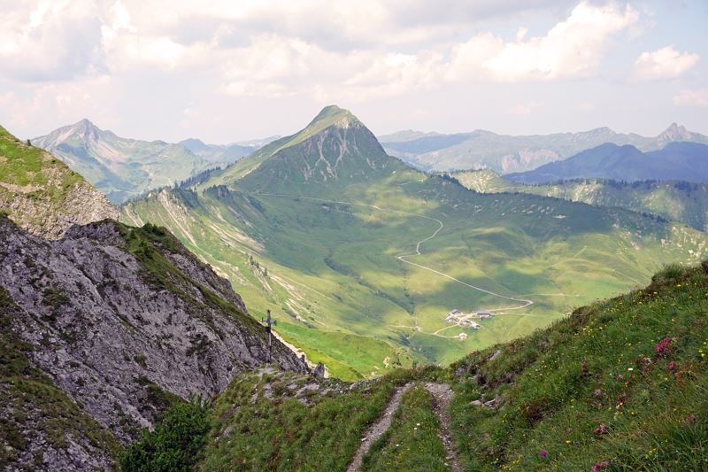
From the Faschinajoch, you first take the goods road up to the Bartholomäus Alpe. From the alpine pasture a hiking trail now leads up to the Gumpener Grätle and at the foot of the Zafernhorn further over the Furka to the Zafernalpe. Passing the Zafernalpe, the alpine trail now leads up to the Hochschere Fürkele and further on the Hochschere trail in the direction of Buchboden. The Hochschere Weg is a demanding and steep climb (descent) that requires surefootedness and a head for heights. On the south side of the Zitterklapfen, the trail leads past the Obere and Untere Überlutalpe into the valley to Sonntag-Buchboden.
 Blick zurück Richtung Zafernhorn und Zafernalpe
 Unterwegs am Hochschere Weg
 Wanderwegenetz Vorarlberg
Equipment
Ankle-high hiking boots with treaded soles, sun and rain protection, snacks, a full water bottle and hiking poles are recommended. Mobile phone for emergencies.
Route description
Start: Parking lot Faschinapass, Fontanella-Faschina
End: Church, Sonntag-Buchboden
Parking lot at Faschinajoch - Güterweg - Bartholomäusalpe - hiking trail below the Zafernhorn - Zafernalpe - Hochschere Fürkele - Hochschwere Weg - Obere and Untere Überlutalpe - Buchboden Emergency services
140 Alpine Emergencies throughout Austria
144 Alpine Emergencies Vorarlberg
112 Euro emergency call (works with any mobile phone/network)


