Brandnertal Round Trip | Brand-Bürserberg-Bürs
Distance31,4 km
Elevation gain1224 m
Negative altitude1312 m
LevelDifficult
Duration6:30 h
Distance31,4 km
Elevation gain1224 m
LevelDifficult
Duration6:30 h
A short moment
Loading map...
Brandnertal Round Trip | Brand-Bürserberg-Bürs
This challenging MTB tour starts in Bürs and leads along the country road towards Bürserberg/Brand. At the junction with the main road, cross it and ride on the old road via the district of Außerberg in the direction of Bürserberg. Once you reach Außerberg, follow the signposted MTB route in the direction of Hochplateau Tschengla or to the P3 car park. At the Tschengla plateau, take the Burtschaweg trail past the Burtscha Alpe up to the Burtschasattel. Here you can take a break at the Frööd restaurant with its fabulous views. From the Burtschasattel, the tour now takes you a short distance uphill towards the Parpfienzsattel and from there downhill via the Innere Parpfienzalpe to the mountain station of the Dorfbahn. From here, take numerous bends and hairpin bends along the Eggaweg trail to the centre of the municipality of Brand. Once you reach the valley floor, follow the main road out of the valley for a short while and turn right in the Galaferda district (shortly after the bridge) to the Alvierbach stream. The tour now leads you along the Alvierbach on the old road connection back to Bürs.
Variants
The tour can of course also be ridden in the opposite direction or started from Brand or Bürserberg.
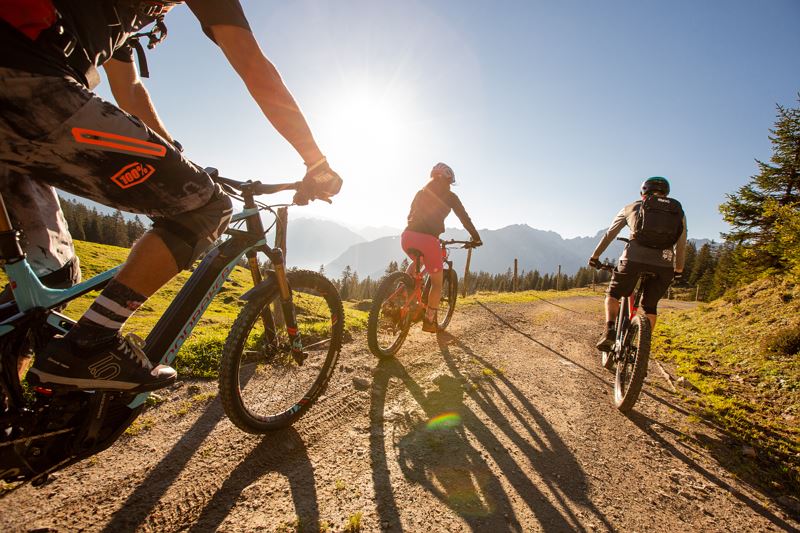
 Mountainbiken im Brandnertal (Symbolbild)
 Mountainbike-Regeln
Equipment
Mountain bike, helmet, rain or sun protection, small snacks and enough water to drink. Mobile phone in case of emergency.
Possibly a valid mountain railway ticket for the optional ascent with the mountain railway.
Route description
Start: Village centre, Bürs
End: Village centre, Bürs
Bürs - country road - crossing the main road - Außerberg - Monteschil - Hochplateau Tschengla/parking area P3 - Burtschaweg - Burtscha Alpe - Restaurant Frööd/Burtschasattel - Parpfienzsattel - Parfpienzweg - Innere Parpfienzalpe - Dorfbahn mountain station - Eggaweg - Brand centre - main road out of the valley - Galaferda - old road to Bürs - BürsProperties
- Scenic
- Round trip
- Refreshment stops available
Emergency services
140 Alpine Emergencies throughout Austria
144 Alpine Emergencies Vorarlberg
112 Euro emergency call (works with any mobile phone/network)

