Around the Zafernhorn | Fontanella-Faschina
Distance25,9 km
Elevation gain1286 m
Negative altitude1286 m
LevelDifficult
Duration4:00 h
Distance25,9 km
Elevation gain1286 m
LevelDifficult
Duration4:00 h
A short moment
Loading map...
Around the Zafernhorn | Fontanella-Faschina
From the Faschinajoch, briefly cross the road to the Stutztobel, where the trail branches off. From here the ascent begins via the Zafernmaisäß up to the Zafern Alpe. From the Zafern Alpe, the tour leads over a single trail to the Kriegbödenalpe. From there, head in the direction of the Outer and Inner Bödmen Alps to the Tiefenwald forest and uphill again to the starting point at the Faschinapass.
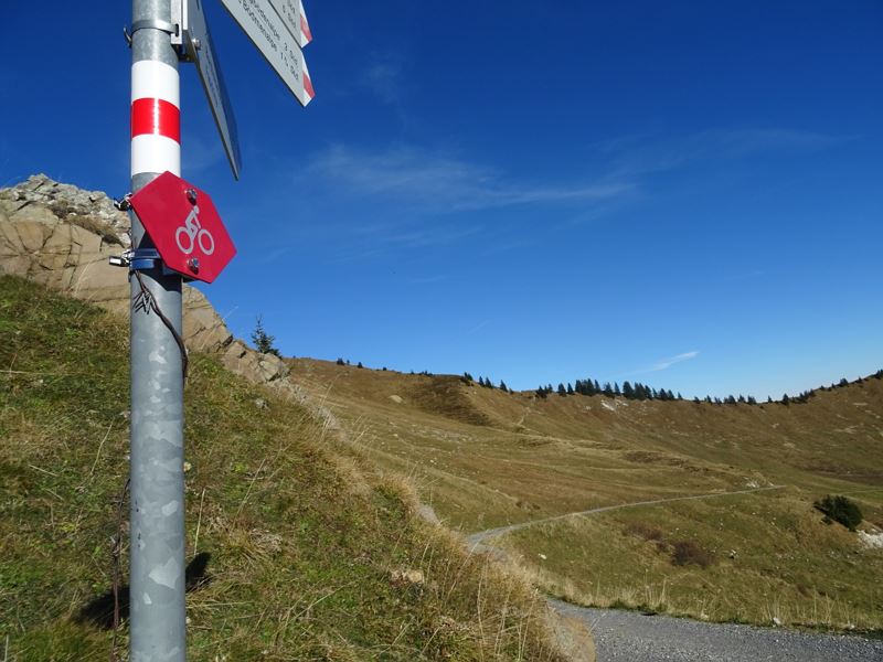
 Wegweiser entlang der MTB-Route
 Zafernmaisäß
 Blick hinunter auf die Zafern Alpe
 Wanderwegenetz Vorarlberg
Equipment
Mountain bike, helmet, rain or sun protection, small snacks and sufficient water. Mobile phone in case of emergency.
Route description
Start: Faschinapass, Fontanella-Faschina
End: Faschinapass, Fontanella-Faschina
Faschinapass - Stutztobel - Zafernmaisäß - Zafern Alpe - single trail - Kriegbödenalpe - Äußere Bödmenalpen - Innere Bödmenalpe - Tiefenwald - FaschinapassProperties
- Singletrail/Free ride
- Round trip
- Refreshment stops available
- Scenic
Emergency services
140 Alpine Emergencies throughout Austria
144 Alpine Emergencies Vorarlberg
112 Euro emergency call (works with any mobile phone/network)


