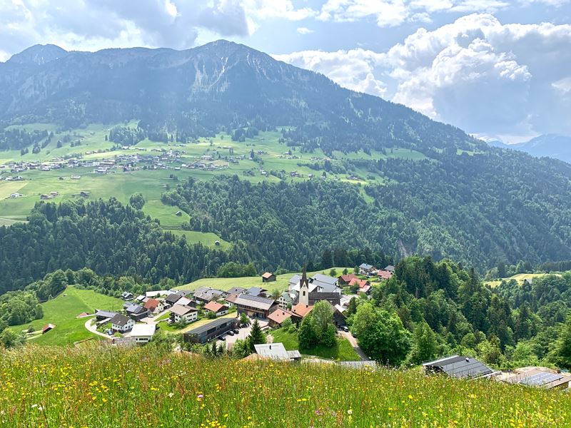
Along the Walserkamm | Blons - St. Gerold
Distance17,5 km
Elevation gain610 m
Negative altitude875 m
LevelModerate
Duration6:00 h
Distance17,5 km
Elevation gain610 m
LevelModerate
Duration6:00 h
A short moment
Loading map...
Along the Walserkamm | Blons - St. Gerold
From Blons, take the hiking trail to Oberblons and continue to Alpe Sentum. From there, the tour leads along a high-level trail to Plansott Alpe and on to Gaßner Alpe. The route then descends along the goods road to St. Gerold. The hike along the Walser ridge promises fabulous views.
 Blick zurück auf Blons
 Über Wiesen- und Waldwege geht es von Alpe zu Alpe
 Teilweise auch entlang von Güterwegen
 Unterwegs Richtung Sentum Alpe
 Höhenweg Richtung Plansott Alpe
 Plansott Alpe
 Wanderwegenetz Vorarlberg
Equipment
Ankle-high mountain boots with treaded soles, sun and rain protection, snack, filled water bottle and first aid equipment. Mobile phone for emergencies.
Route description
Start: Blons
End: St. Gerold
Alpbus to Sentum alp - Sentum alp - mountain path - Plansotta alp - mountain path - Gaßner alp - via Güterweg to St. Gerold.Properties
- Linear route
- Scenic
- Refreshment stops available
Emergency services
140 Alpine Emergencies throughout Austria
144 Alpine Emergencies Vorarlberg
112 Euro emergency call (works with any mobile phone/network)


